Selected completed surveys showing how field data becomes a practical basis for quantities, design coordination and engineering review.
PRIVACY BY DEFAULTClient identities, locations and coordinates are not disclosed.
REAL PROJECT DATAANONYMISED PRESENTATIONMEASUREMENTS · CAD · REPORTS
AEROMETRIX / 01 / VOLUME CONTROLANONYMISED
01 / VOLUME CONTROL
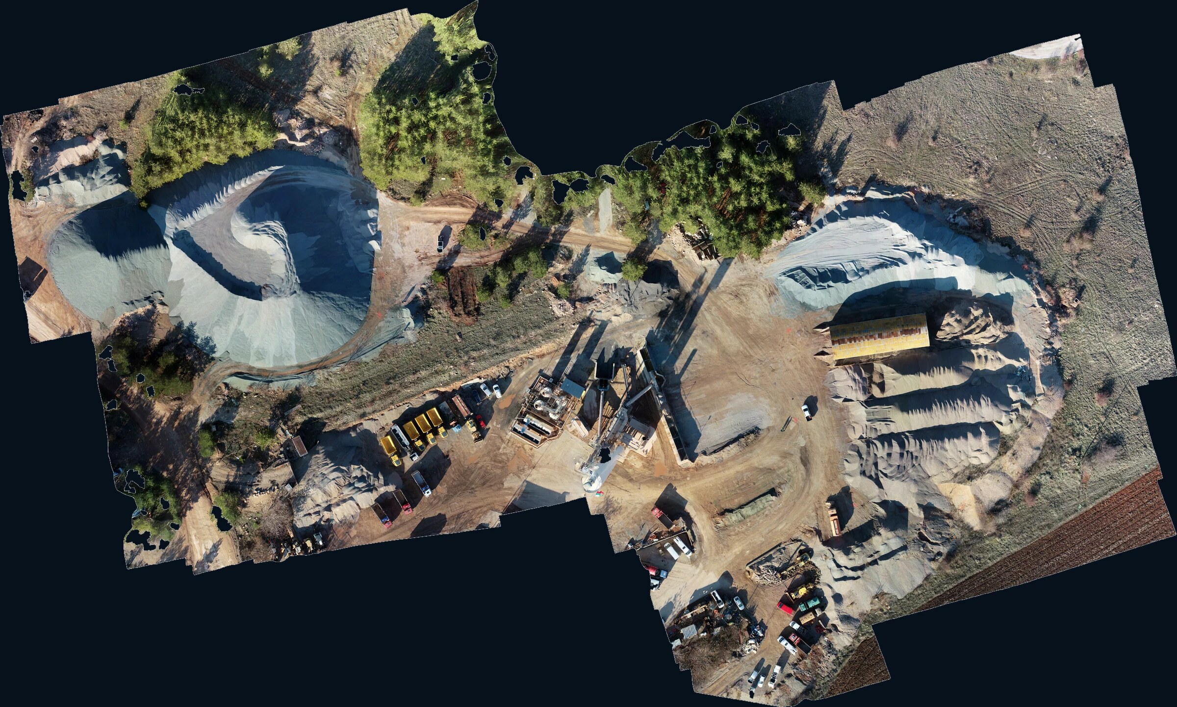
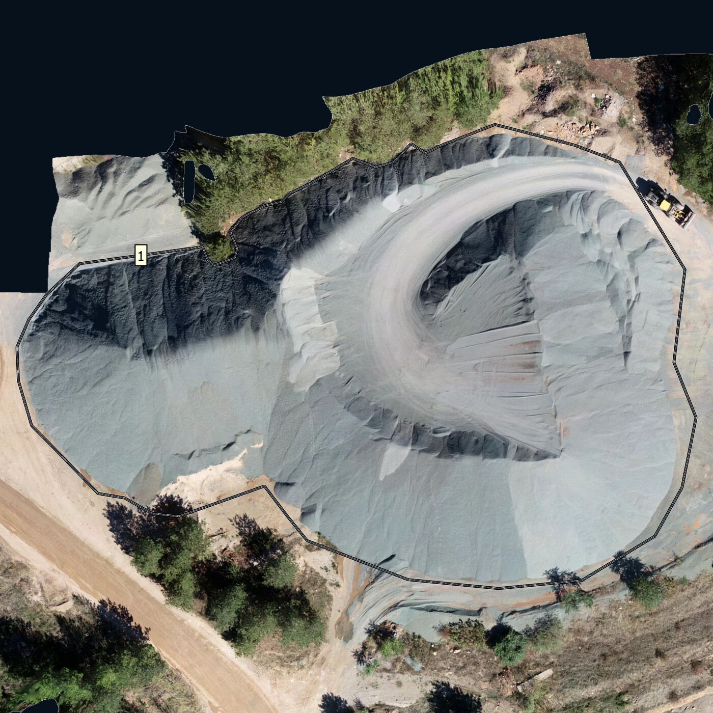
Material inventory at an asphalt plant
Complete aerial capture and photogrammetric processing of an operational site, with each material stockpile delineated and calculated separately.
10
measured zones
≈34,611 m³
calculated volume
11,410.6 m²
delineated area
1.34 cm/px
orthomosaic detail
ORTHOMOSAIC3D SURFACESVOLUMES BY ZONETECHNICAL REPORT
SCOPE NOTEVolumes are photogrammetric calculations based on defined boundaries and reference surfaces; they are not presented as certified inventory quantities.
AEROMETRIX / 02 / QUARRY WORKFLOWANONYMISED
02 / QUARRY WORKFLOW
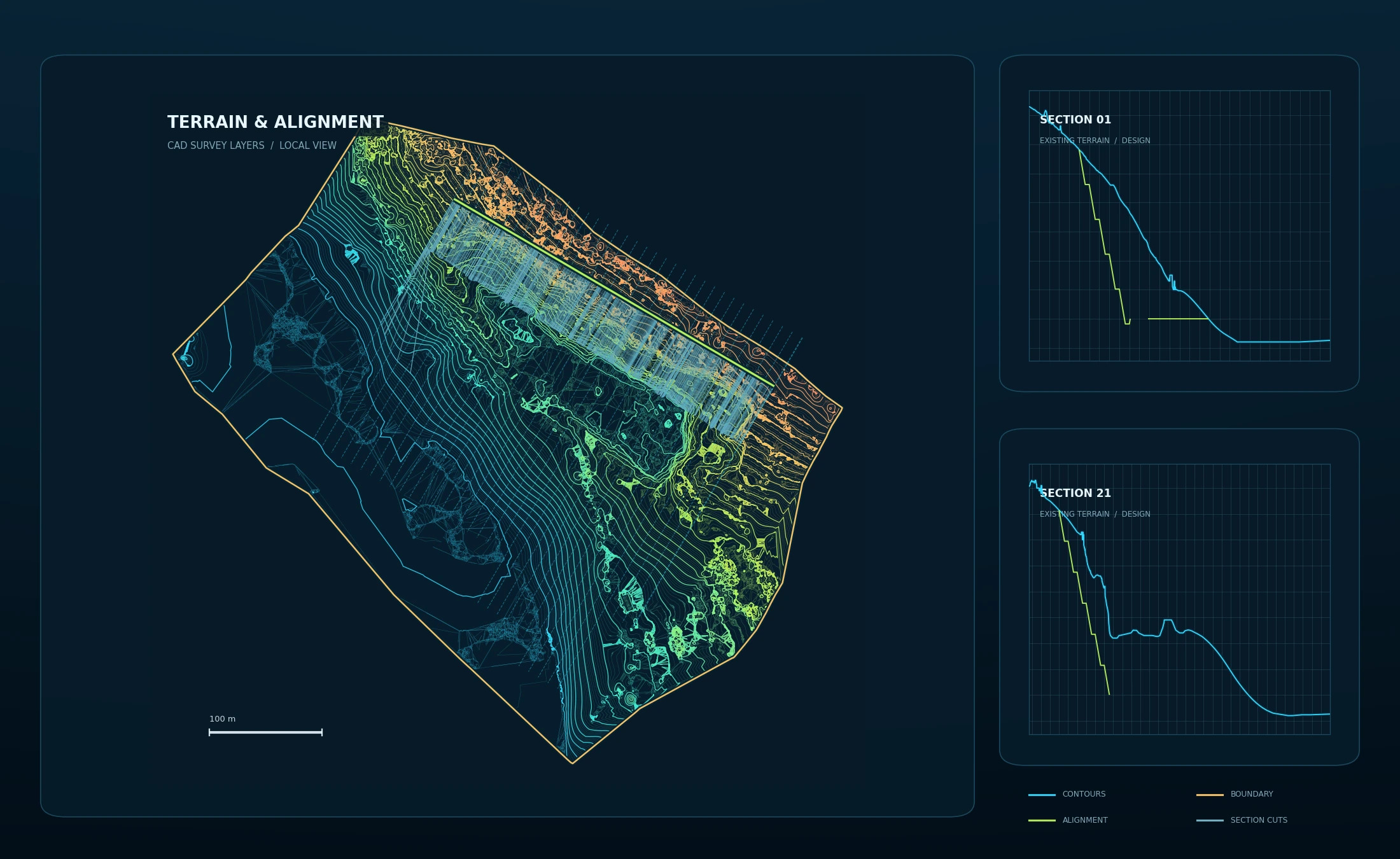
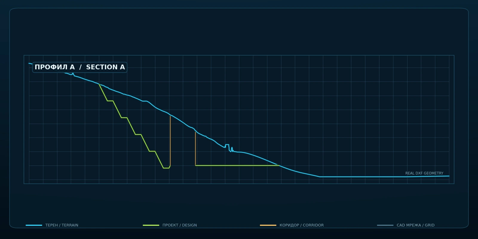
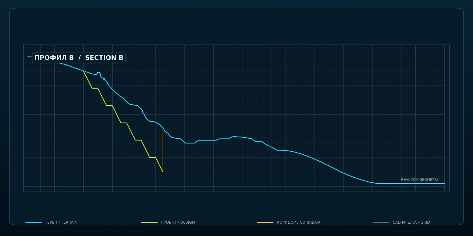
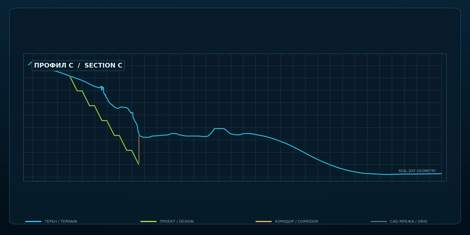
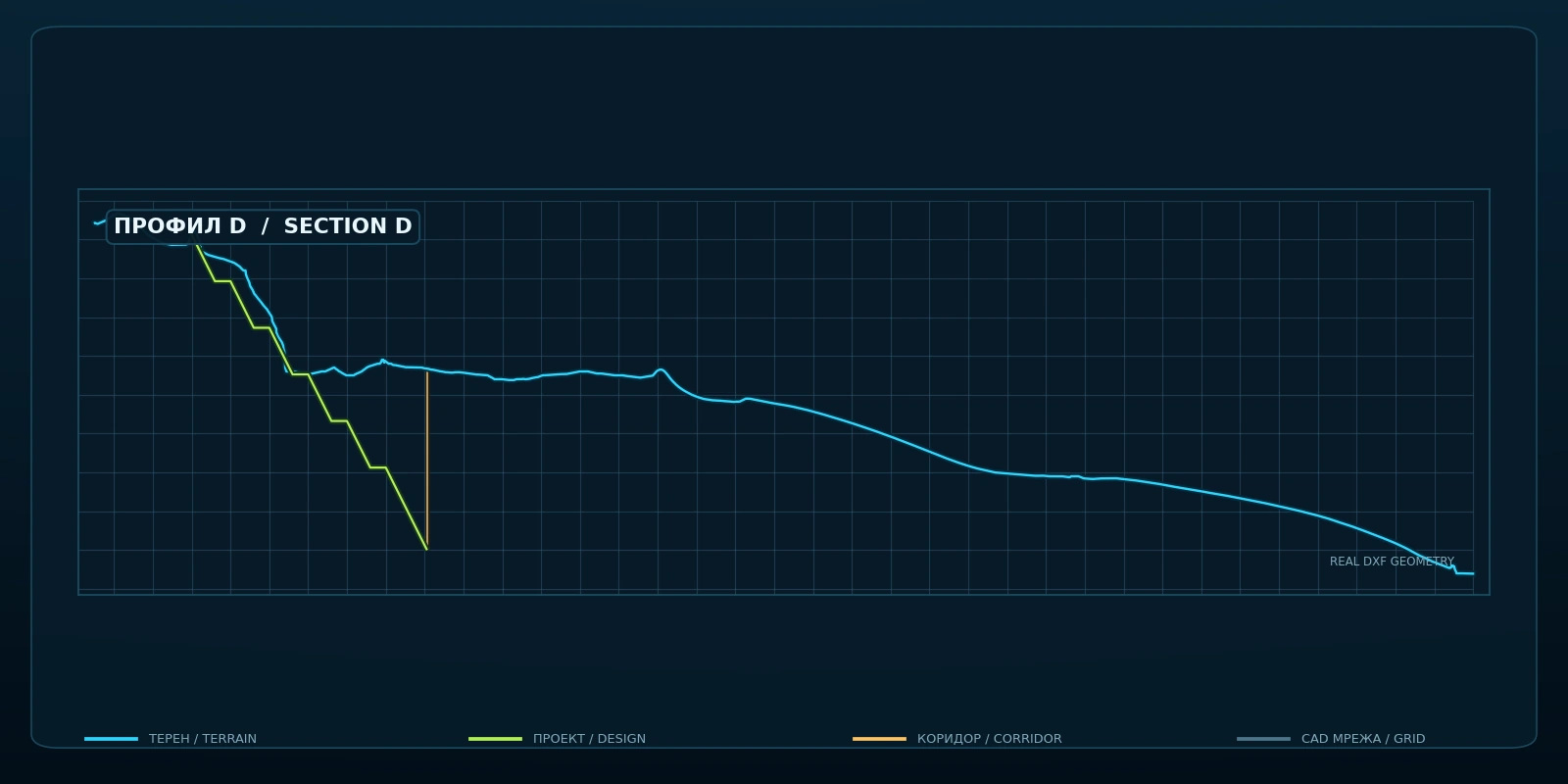
Quarry survey and quantity model
From aerial survey and 3D reconstruction to a Civil 3D dataset with the concession boundary, modelled terrain and cross-sections for technical review.
9
measured stockpiles
≈29,537 m³
calculated volume
35
cross-sections
330.53 m
profiled section
ORTHOMOSAIC3D MODELCIVIL 3DCROSS-SECTIONS
SCOPE NOTEThe dataset supports technical analysis and reporting; it does not replace any statutory mine-surveying, geological or certification procedure that may be required.
AEROMETRIX / 03 / COMPLEX TERRAINANONYMISED
03 / COMPLEX TERRAIN
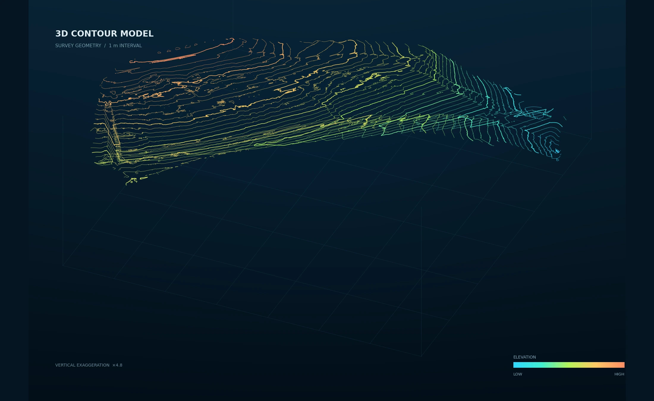
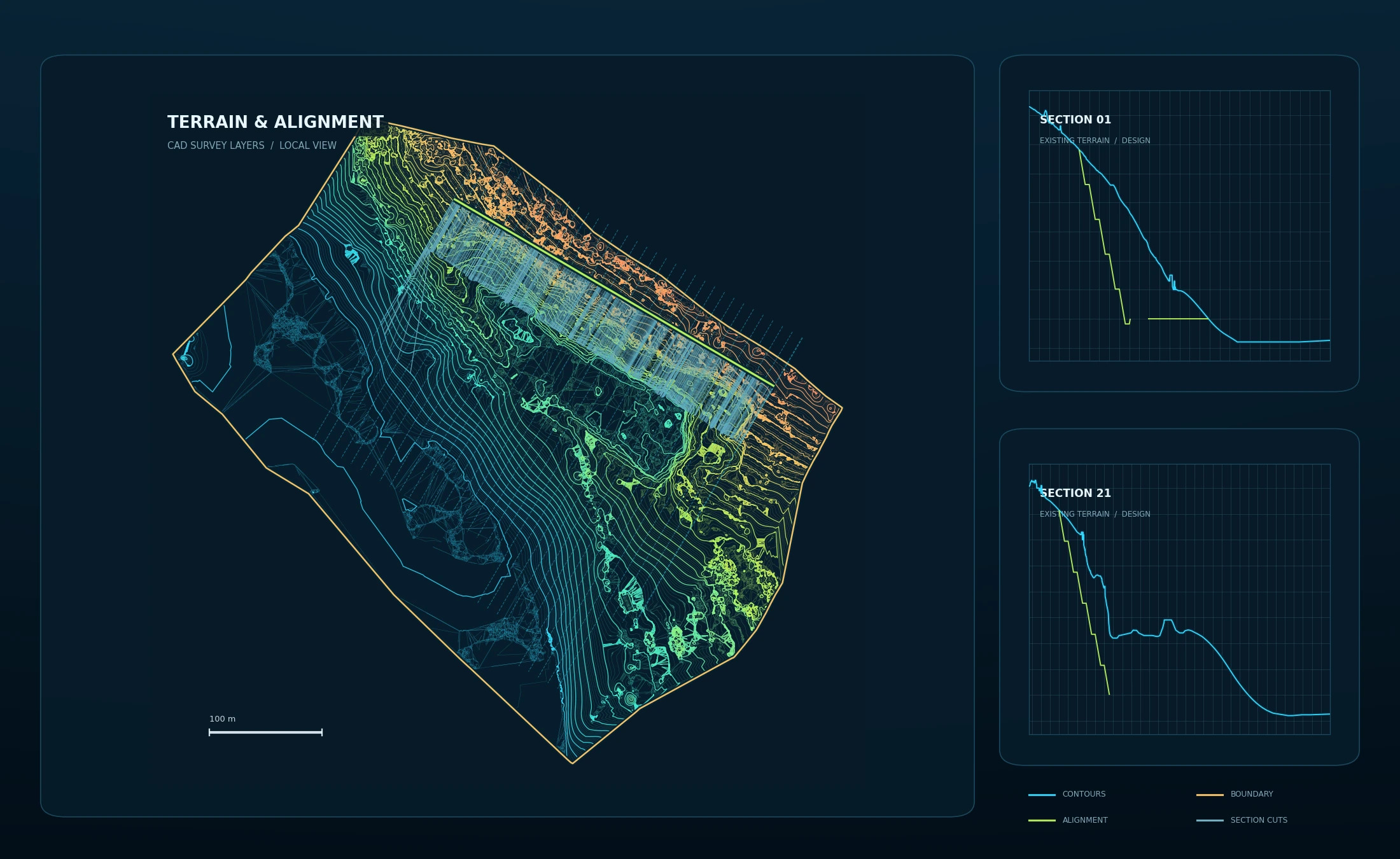
3D terrain model of a landslide-affected area
A detailed digital terrain basis that makes complex relief measurable and prepares the site for subsequent engineering-geological assessment or monitoring.
2,182
3D contours
1 m
contour interval
41 m
elevation range
≈566 × 603 m
spatial extent
TERRAIN MODEL3D CONTOURSDXFCAD-READY DATA
SCOPE NOTEThe model describes terrain geometry. On its own, it is not a geotechnical diagnosis and does not determine the cause, stability or risk of landslide activity.
AMX / CASE DATA
Figures shown are taken from the project materials; approximate values are marked with “≈”. Final accuracy and scope depend on capture conditions, available control data and the agreed methodology.
PROJECT EVIDENCE
From site capture to engineering-ready data.
The project material below is real and anonymised. Client identity, location and coordinates are not disclosed.